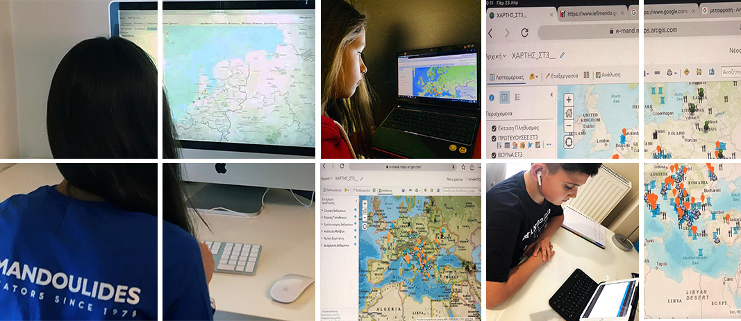
Distance cartographers in action!
The students of 6th Grade created an interactive map of Europe with the help of ArcGIS software.
After collecting material regarding the most important demographic, geomorphological and cultural characteristics of each European country, they designed a map that meets the needs of even the most demanding traveler: capital, population, regime, mountains, monuments, attractions and traditional cuisine are just some of the data collected, which was later used on their own interactive maps!